
Emerging Technologies: GIS Application

GIS is based on the science of geography and technology
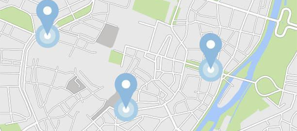
A geographic information system (GIS) is a computer system that leverages locational and tabular data for capturing, storing, analyzing, and visualizing and displaying geographically reference data related to positions on Earth’s surface such as maps.
By clearly visualizing data, users are able to uncover patterns, understand trends, monitor changes, and respond to events. The software has a wide range of applications in industries such as supply chain management, insurance, forestry, and city planning.
Usefulness of GIS in different industries verticals
- Agriculture: Using GIS, soil data and historical farming practices can be analyzed to determine what crops to plant, where they should go, and how to maintain soil nutrition levels to maximize plant growth. For example, the USDA uses GIS systems to protect crops, to solve crop issues, to investigate fraudulent claims for crop damage, and to provide farmers with season-by-season information about their crops.
- Pest Control and Management: Geospatial information systems (GIS) can be used to monitor, predict, manage, and fight the spread of pests and diseases. Tools such as these provide opportunities for cost-effective and efficient targeting of control interventions. According to the case study on potential benefits of GIS techniques in disease and pest control in Central Africa, the use of GIS in disease monitoring can helped identify spatial patterns of the disease, determine its spatial extent, and link the disease to auxiliary spatial data. Additionally, GIS was used to predict disease spread, as an input for pest control risk assessment models, and to quantify climate change-induced changes to pest and disease thresholds.
Future of GIS application
As GIS has become increasingly integrated into many industries, it has gone from a niche player to a mainstream one. Businesses and governments will become more dependent on GIS as the need for spatial data grows. It is expected that GIS will continue to grow phenomenally in the future.

Get In Touch
Contact us and find out how our services can benefit your company.
© 2025 Quantum IT Consultancy Services. All rights reserved.
